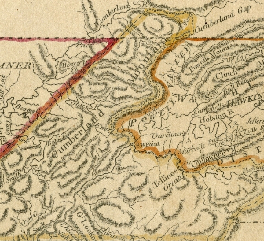
Map of Tennessee originally published in A new and elegant general atlas, depicting Tennessee in the 1790’s. Map shows counties, Indian lines, settlements, rivers, the Mero District and the Washington District.
This map is a snippet from the full map held at the Tennessee State Library and Archives. Click here to view the original map.

