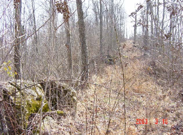
MUTTONBLUFF - SOUTHWEST VIEW
This is a view from the Muttonbluff barbecue rocks looking to the southwest toward the Mace's Hill
Community about two miles in the distance. Since the Muttonbluff rests in the saddle or low gap
between two hills, this view is "uphill". The cleared path is a logging road that was used within the
last few years. At the previous time I visited the Muttonbluff in 1967, there were large and numerous
trees in this view and the place now looks quite different to the way it looked at that time. The rocks
and boulders, however, have not been disturbed and I suppose they appear essentially the way they did
140 years ago when Buck Smith and his gang were using the site.
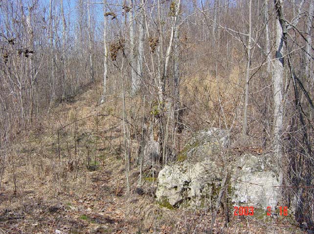
MUTTONBLUFF - NORTH VIEW
This view from the Muttonbluff barbecue rocks is looking to the north toward the Ebenezer
Community about three miles away in Macon County.
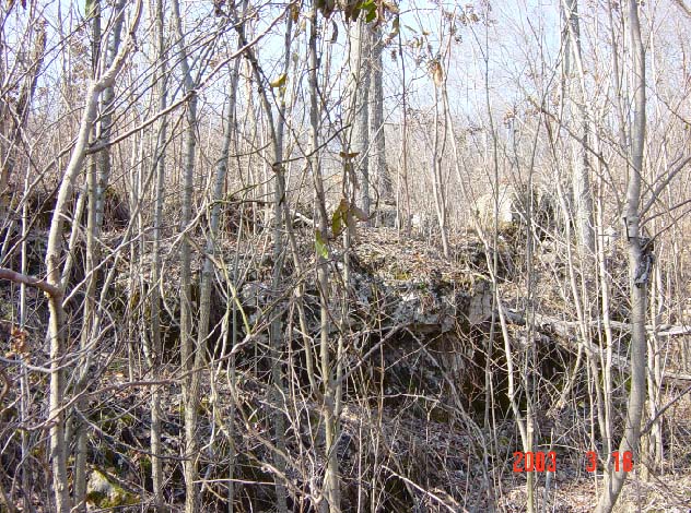
MUTTONBLUFF - WIDER VIEW OF BARBECUE ROCKS
The Muttonbluff barbecue rocks rest on a limestone ledge four to six feet high that overlooks
the Muttonbluff Spring in Smith County and the steep cove below. This view is to the northwest.
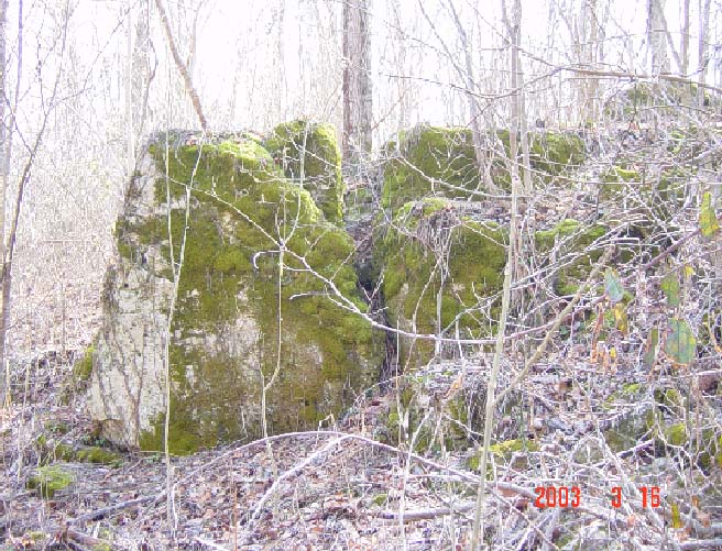
MUTTONBLUFF - LARGEST BOULDERS
The largest boulders of the Muttonbluff are less than 100 feet south of the barbecue rocks. They are
located just below the top of the gap and are six to eight feet high. These rocks could have provided
some protection for the guerrillas in case Union soldiers or law officers fired upon them.
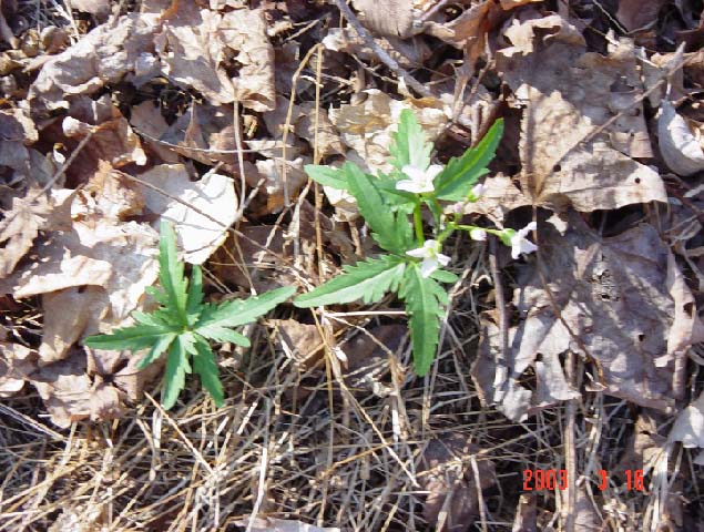
MUTTONBLUFF WILD FLOWERS
Are these Muttonbluff wild flowers wild marijuana plants?????---- Naw, they're only Toothworts.
Native Americans chewed the roots of Toothworts to relieve pain from toothaches.