MUTTONBLUFF - BARBECUE ROCKS
These boulders are the focal rocks of the Muttonbluff where Buck Smith and company roasted the sheep
they had stolen. The view is to the northwest from the Smith County side toward Trousdale County. These
rocks are located on the very top of the saddle between two hills where Smith and Trousdale Counties join.
The barbecue rocks sit atop this gap that is made up of a limestone shelf about four to six feet high.
The Muttonbluff Spring is located to the left of the larger boulder and down the hill about fifty feet.
As a teen-ager, in the mid 1950s, two friends and I camped-out one night at the Muttonbluff.

MUTTONBLUFF - BARBEQUE ROCKS
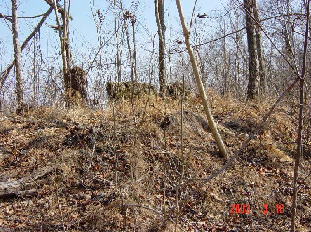
This view of the Muttonbluff barbecue rocks is from Trousdale County as one ascends the hill from the
Massey Hollow. In this southeast view, Pleasant Shade lies about two miles in the distance. The first
object (left to right) is a stump and not part of the barbecue rocks.

MUTTONBLUFF - BARBEQUE ROCKS
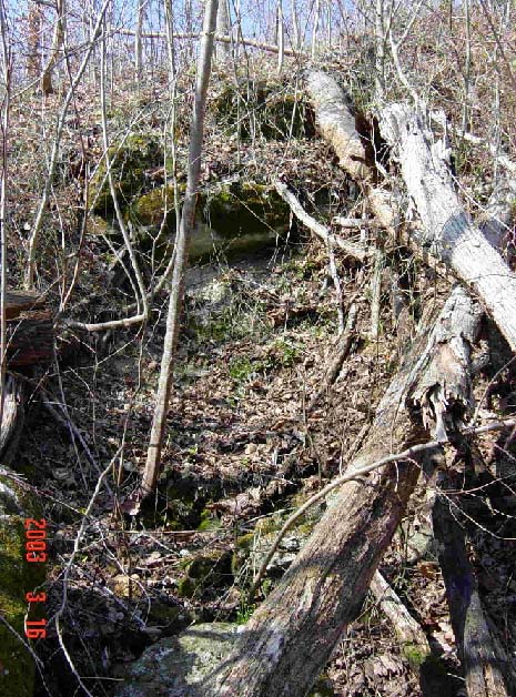
This view of the Muttonbluff barbecue rocks (coordinates of 36-23-52N, 85-58-54W) is from Trousdale
County looking southeast into Smith County toward Little Peyton's Creek. Between these two boulders,
Buck Smith and company would build a fire and roast their mutton while hiding out or preparing for their
next raid or other mischief. From this vantage point, they had a very good view in all directions of any
Union soldiers or law officers that might be on their trail.
MUTTONBLUFF SPRING
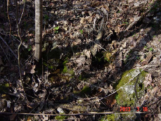
The Muttonbluff Spring is located on the east side of the Muttonbluff in Smith County about fifty feet
down the hill from the barbecue rocks. Without this spring, it would not have been feasible for Buck
Smith and his gang to use the Muttonbluff as a hideout. Water emerges from near the base of the sapling
at the lower part of the picture. This spring does not produce great quantities of water and it may go dry
during the summer months. However, by digging a pool for the water to collect, a considerable supply
of water would have been available for Buck Smith's gang and their horses.
We brought hot dogs, hamburgers, soft drinks, etc., and dug a pond at the spring where we
cooled our drinks. At the barbecue rocks, we built a fire, cooked and ate our food, talked
about Buck Smith and the bushwhackers and had a good time. As the night drew on, however,
we came close to making a raid of our own (on our own homes and beds). It was kind of scary
there in the shadows of the flickering fire and darkness with the thoughts that maybe, just maybe,
the ghosts of Buck and his gang were watching us from behind the rocks and trees. 
MUTTONBLUFF SPRING CLOSE-UP
This is a close-up view of the Muttonbluff Spring showing the small pool of water at
the point where it emerges from the ground.

MUTTONBLUFF - VIEW INTO MASSEY HOLLOW
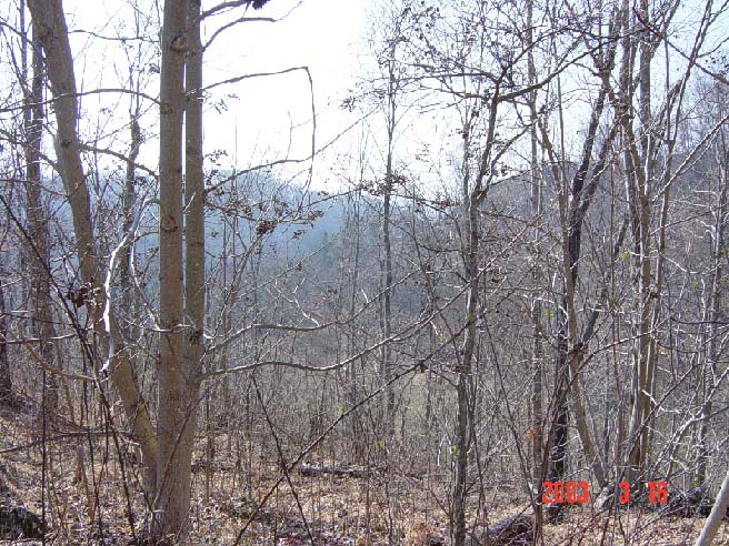
This view is from the barbecue rocks looking southwest down into the Massey Hollow in
Trousdale County. Buck and his gang could ride down this hollow and west to Dog Branch
(about three miles) where his uncle Isham Beasley lived in the Cato Community.