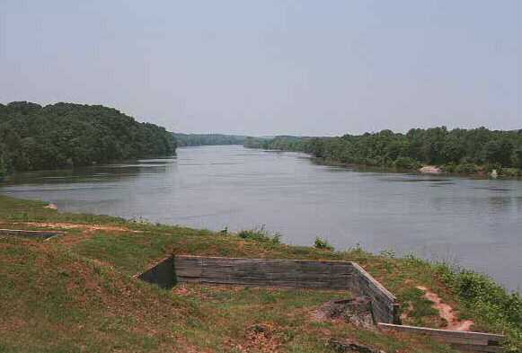
Cumberland River

This is a view of the Cumberland River from Fort Donelson. Photo courtesy of Sandy Shackelford, shacks@concentric.net.
The river has been instrumental in the development of the area from the earliest times:
| Pleistocene Period | Inhabitants probably resided in the area relying for food on early mastodons and mammals |
| Mississippian Period | Remnants of this culture are found along the river in the form of a mound some one thousand feet long around the Tharpe area and on the west bank of the river. |
| 1600's | French traders and coureurs de bois probably made trips up and down this river. It was known as either the Shawnee or the Louisa until 1748. |
| 1700's | French trading continued, as did traffic of other Europeans. The Shawnee abandoned their settlement in this area along the river on the Cumberland and in 1748, Dr. Thomas Walker renamed the river Cumberland after the Duke of Cumberland. Pioneers arrived on flatboats and rafts. |
| 1800's | "Monroe" was begun in 1805 as the new "county seat" for Stewart Co., constructed on this river. It was later to be called Dover. By 1809 ferries and roads provided a way to get into the area between the Cumberland and Tennessee Rivers. Nathan Skinner operated a watermill and a ferry on the river early in the 1800's. In 1812, many from the area traveled to New Orleans to defend the mouth of the Mississippi, knowing this could affect their many exports that direction. Steamboats were traveling the river by 1825. The river was important for transporting not only passengers, but freight. Fishing, musseling, milling were all important industries due to the river. The Cumberland River was also instrumental in the land boundary disputes of the 1800's. During the Civil War, the river played a key role making Fort Donelson and Fort Henry important locations to the Confederate cause, and of much interest to the Union troops. Following the war, the Grand Rivers Co. began to build an industrial base between the two rivers. |
| 1900's | Frequent flooding of the rivers led to the establishment of Tennessee Valley Authority in 1933, first for harnessing the Tennessee River. Kentucky and Barkley Dams were constructed. LBL was constructed as a recreation and conservation center. These developments displaced many people of the area and brought about many changes. The area now draws many to its recreational facilities. |
*Henry, J. Milton; The Land Between the Rivers; Austin Peay University & Tennessee Valley Authority.