USGS Topo Map Locations for Overton, Fentress, and Pickett Counties
The table below contains approximately 1,500 places identified on US Geological Survey topographic quadrangle maps for Overton, Fentress, and Pickett Counties. The data are drawn from https://geonames.usgs.gov/
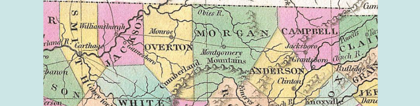
Professional cartographer, author, historian, and TNGenWeb Project volunteer Charles Reeves, Jr., creates customized digital and printed maps of the Upper Cumberland region and worldwide for researchers. Click here to visit his Web site.
| Feature Name | Type | County | Latitude | Longitude | USGS 7.5' Map | NOTES |
|---|---|---|---|---|---|---|
| A H Roberts School | school | Overton | 362314N | 0851901W | Livingston | |
| Aarons Chapel | church | Overton | 362221N | 0852715W | Windle | |
| Adams Branch | Stream | Fentress | 361237N | 0845517W | Jones Knob | |
| Adkins Ridge | Ridge | Fentress | 363100N | 0850240W | Moodyville | |
| Akers Chapel | Church | Fentress | 363054N | 0844944W | Sharp Place | |
| Allardt | Populated Place | Fentress | 362251N | 0845304W | Jamestown | |
| Allardt Cemetery | Cemetery | Fentress | 362223N | 0845304W | Grimsley | |
| Allardt Elementary School | School | Fentress | 362243N | 0845253W | Jamestown | |
| Allardt Fire Department | Building | Fentress | 362252N | 0845256W | Jamestown | |
| Allardt Fire Tower | Building | Fentress | 362258N | 0845419W | Jamestown |