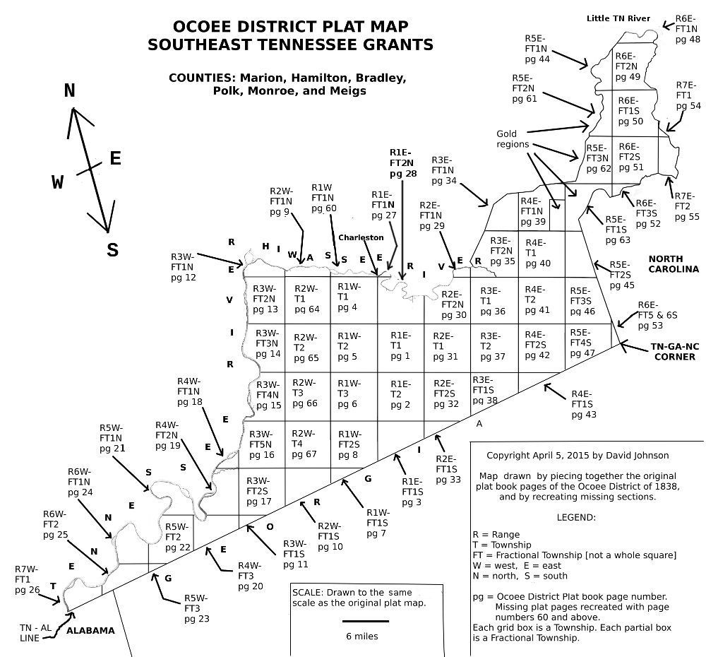
OCOEE DISTRICT LAND GRANT MAP Of
SOUTH EAST TENNESSEE- 1838, 1839
SOUTH EAST TENNESSEE- 1838, 1839
Copyright: David Johnson 04/14/2015
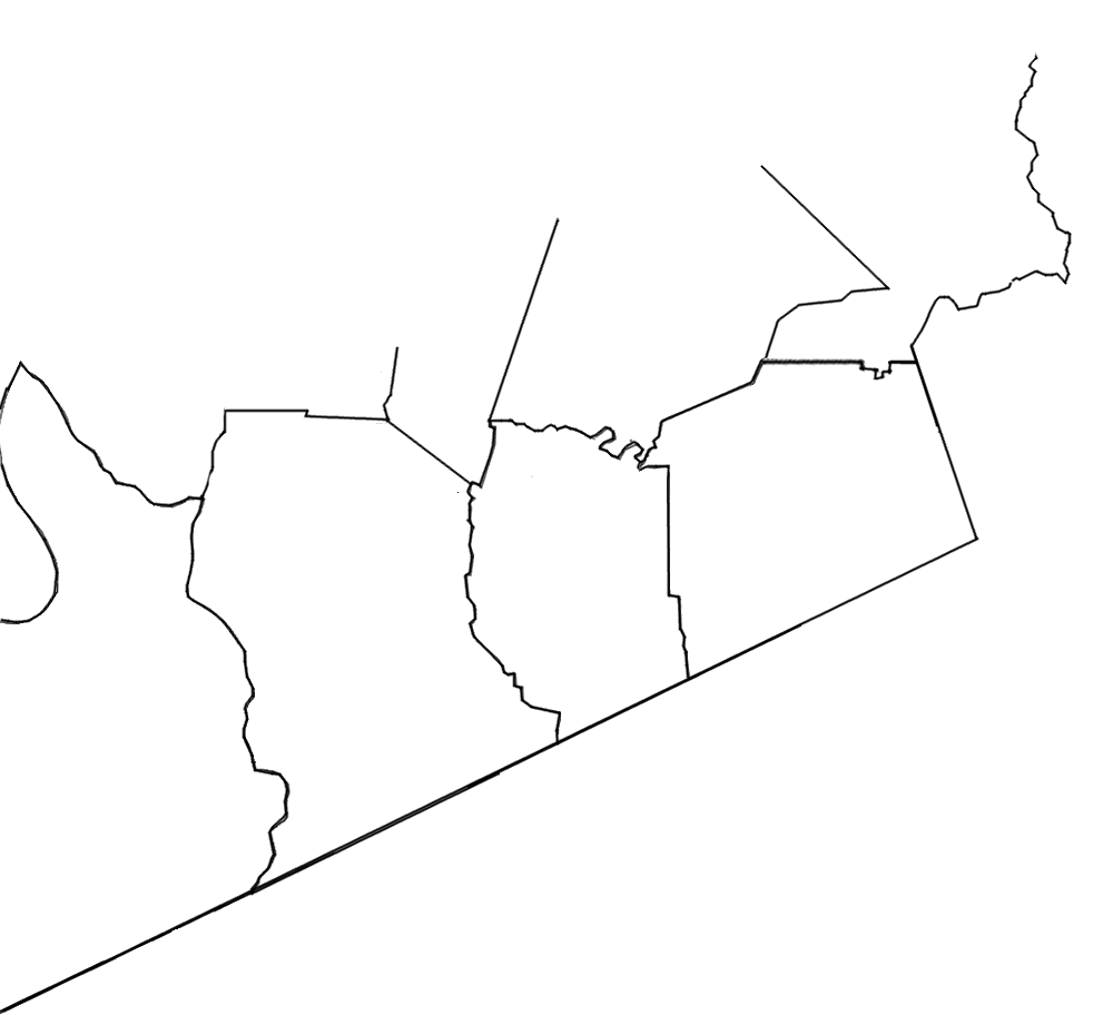
Below is a map of the Ocoee District land grants showing ranges and townships for the beginning years of 1838 and 1839. Click on a township square on the map, and the image of the actual Ocoee District Plat Book will open to be viewed. Eight Pages of the plat book were missing, and these are being recreated from the grants information.
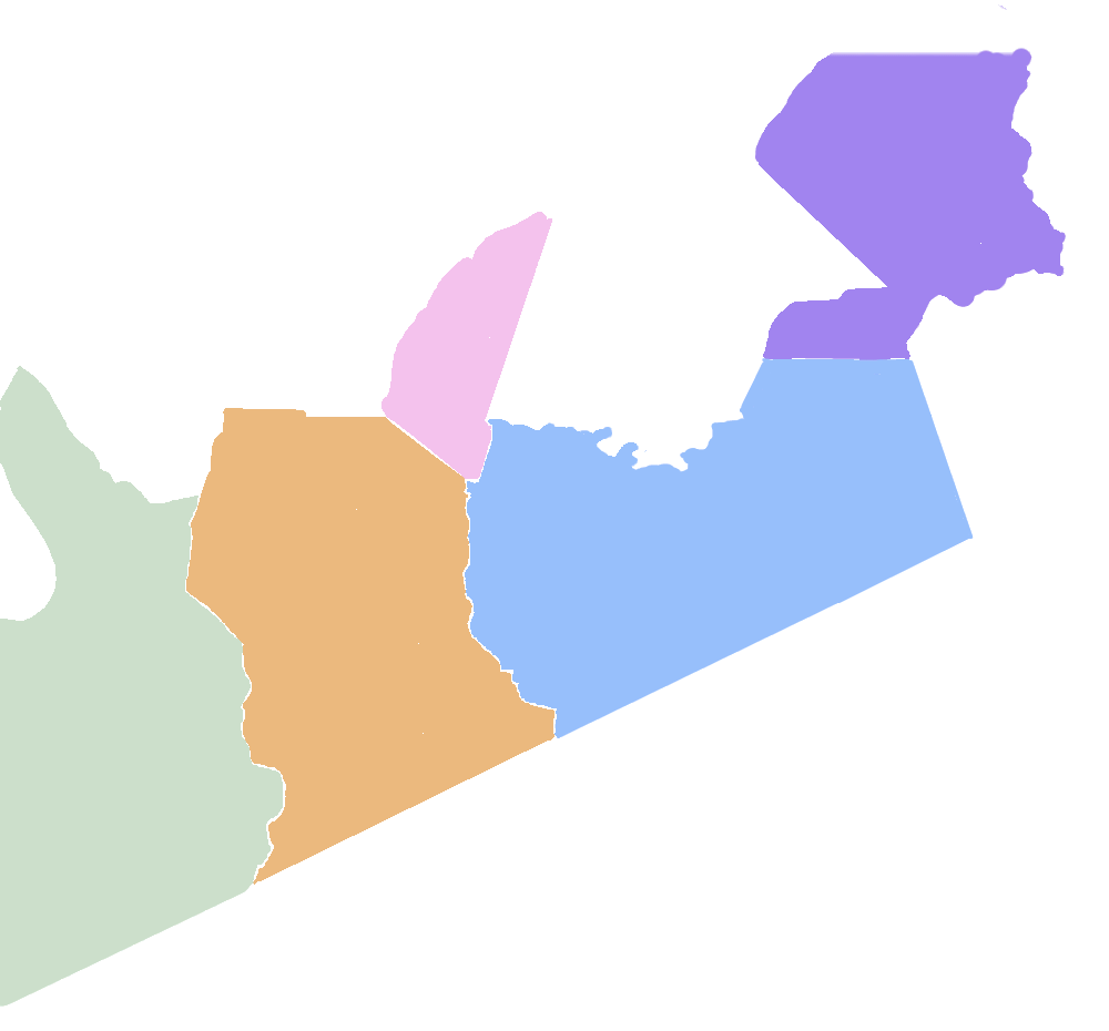
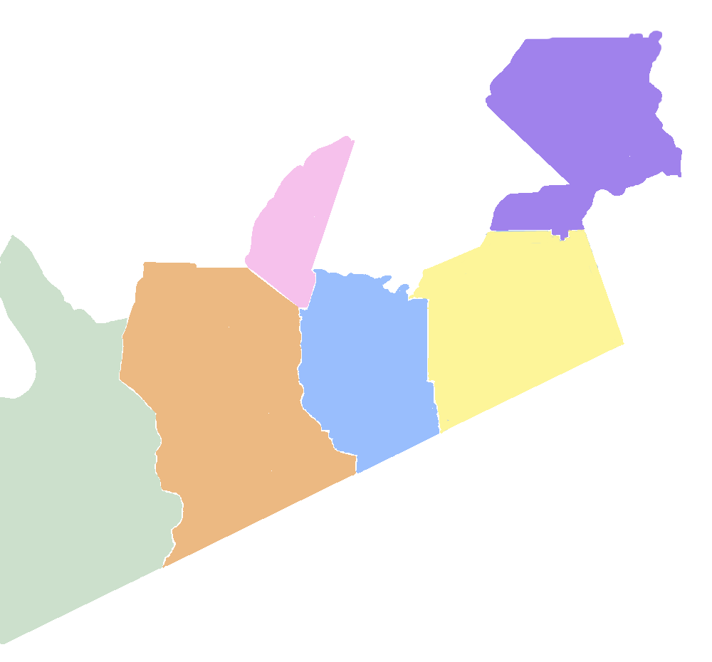
This map was constructed by piecing together the plat book pages, and other early maps made at that time. The northern part of both Monroe and Meigs counties is not fully drawn, since only their lower portions were in the Ocoee District.
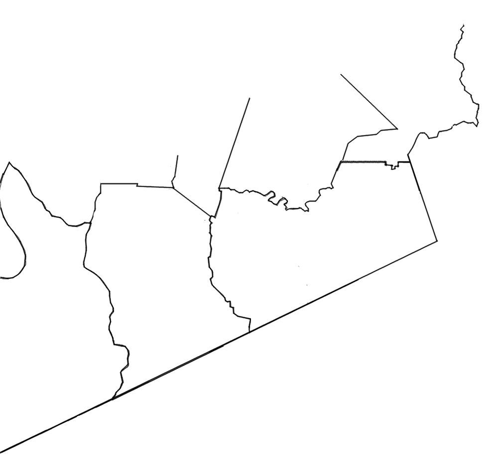
To see the Tennessee counties in which these townships were located, click on the buttons for either of the two years, or click on "none" to remove the county overlay.