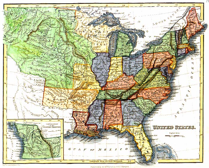
United States in 1832
A
TNGenWeb
Historic Map
This 1832 map was printed in Scotland. Source unknown. The hand coloring is modern. At the bottom of the map appears “Published by Arch
d
Fullarton & C
o
Glasgow.”
Map contributed by Fred Smoot.
Main Maps Page
.
Click here
.
This page was updated on:
03 February 2016