
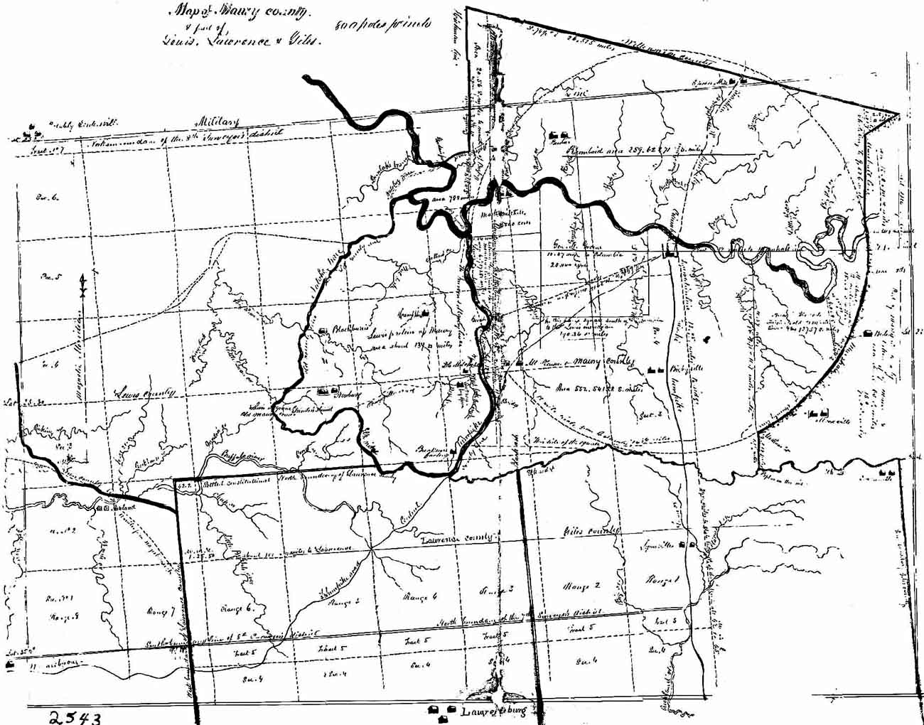
This map is from an 1851 Tennessee Supreme Court case. The original map lives at the Tennessee State Library and Archives. The original court case involved county lines. This map is especially interesting because it shows Natchez Trace and Grinder’s Stand, where Meriwether Lewis, Governor of the (U. S.) Louisiana Territory, allegedly committed suicide. (See Detail map below.) It also shows the 25,000 acre grant to North Carolina’s General Nathanael Greene. The map even has some of the section and range and range lines of the Surveyor’s Districts. Still another important feature shown is the old “Military Line” at the top (north) of the map.For serious researchers of Maury County wishing to obtain a hardcopy of this map, please contact the Tennessee State Library and Archives in Nashville. Please refer to map #2543.
Special thanks to Dr. Wayne C. Moore, TSLA archivist and this project’s co-host for finding this map and bring it to my attention.
Fred Smoot
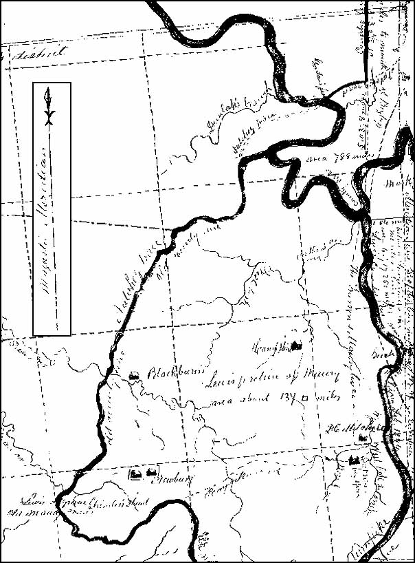
Gordon’s Ferry is at the top middle part of the map where the Natchez Trace crosses the Duck River. In the southwest corner of the map appears Lewis’ grave and Grinder’s stand. The old Maury’s west county line was the Natchez Trace. The “Magnetic Meridian” arrow was added to this detail map. It is from another part of the original map.