Washington County, Tennessee Tombstone Inscriptions by Charles M. Bennett and the Watauga Association of Genealogists. Information used with the permission of Lorraine Bennett Rae.
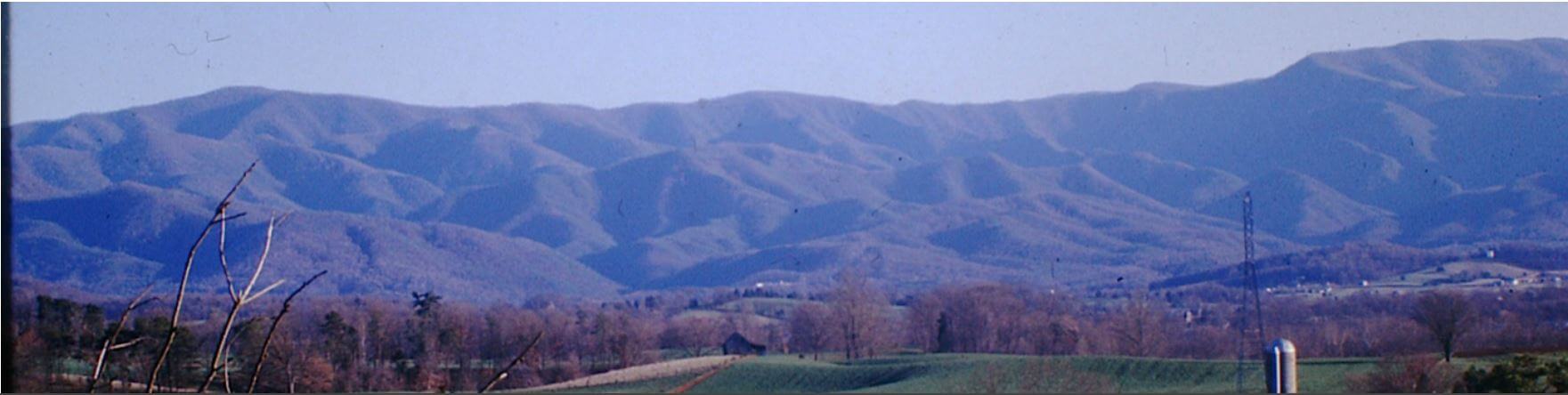
From an indicator on Charles Bennett’s topographic notes. “Destroyed when road was built”. The referenced roadway is State Route 81 South, just north of the Frank Lowe Road intersection and on the western side of SR81.
GPS – +36° 15.800, -82° 28.905 (approximate)
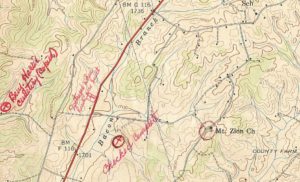
LOCATION – Washington County tax parcel 068HB008.01
DEEDS –
All deeds quiet on existence of a burial ground.
Deed Book 48, Page 206 (1881) – Heirs of Samuel Thomas to Peter Miller – 125 acres.
Deed Book 79, Page 59 (1900) – Peter & Harriet Miller t R J & Julia Arrants – 125 acres.
Deed Book 101, Page 151 (1909) – Heirs of R J Arrants to Alice Bobbitt – 125 acres.
Deed Book 113, Page 550 (1913) – Alice & James Bobbitt to John H. Phillips – 125 acres.
Deed Book 132, Page 343 (1917) – Rettie Phillips to Viola Poteat – 125 acres.
BURIALS –
Unknown
Surveyed, transcribed and donated to the Washington County TNGen Web November 2015 by Gordon M. Edwards, member of the Cemetery Survey Team of Northeast Tennessee.
Copyrighted 2015 by the Cemetery Survey Team of Northeast Tennessee. No part of this work may be copied without written permission from the Cemetery Survey Team.