Riverside and Old City cemeteries
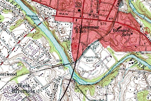
City Grammar School is now the Franklin Blue City Municipal Bldg. Bernard School, formerly the black school, is no longer in existance.
Cem. west of 108, the black n/s street, is the Old City Cemetery which that has just gained Nation Historical Register status due to the diligent efforts of Almetia Cunningham and Jimmy Haley. The red/white street is the Old Manchester Hwy.
This topo map was done in 1981. The black street is also now Hwy 55 to Manchester. The other side of Main Street, it is Hwy 56 to Smithville as is Main Street from that point east on to Irving College; and Beersheba Springs in Grundy County.
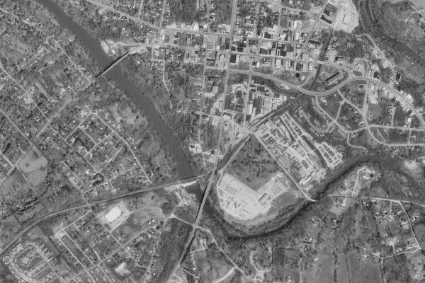
Riverside and Old City Cemeteries
From the top of the map, the first long E/W street is Morford St. It becomes West Main where it angles slightly north. The next street south is Main Street. The next street south is Colville Street which becomes Hwy 56 at some point east of the railroad track and where Main Street angles into it. Beersheba Road and Hwy 56 are the same.
The N/S street ending at the south end of the map is South Chancery, 108 and Hwy 55. The street west that parallels it is South High. The next south street is George Hudgins Street from its east point of origin to South Chancery. It then becomes Bridge Street over to Riverside Cemetery where it angles south and becomes Old Beersheba Road when it crosses the river.
Where South Chancery crosses the river is the Frank G. Clement Bridge. The next northwest bridge over the dam is the railroad bridge. The next northwest bridge is the Fernando C. Boyd Bridge. That was once the main route to Morrison, Manchester, etc.
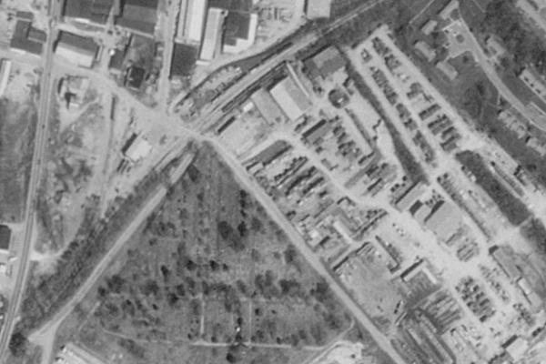
Riverside Cemetery
Old City Cemetery
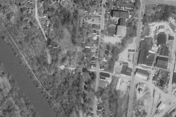
Old City Cemetery, southwest corner of George Hudgins Street and South High Street. South High Street is the N/S street in the middle of the picture. George Hudgins Street it first E/W street from the bottom. The N/S street to the east is South Chancery Street and Hwy 55 to Manchester and Morrison and to 108 Viola and Liberty Lane and Vervilla. The tiny, black, S/E corner is Riverside Cemetery. The river is the Barren Fork River. The big building in the topmost part of the picture is the Franklin Blue City Municipal Building which was once the elementary school and gymnasium as labeled in the topo map above.
Notes:
Gravestone readings for Riverside and Old City cemeteries may be found in:
Warren County, Tennessee
Cemetery Book 4. by Mrs. Almetia Cunningham and Mrs. Martha Holt, compiled and edited
by Mrs. Betty M. Majors, 1993
Additional information on Old City Cemetery and other Warren County cemeteries can be seen
here. Use your back button to return.