
Droke (William) Cemetery
To see a full listing of burials in this cemetery please click here.
Location: On the Droke Farm in Piney Flats, near Boone Lake.
Description: DROKE CEMETERY 2 is located on the Droke Farm in Piney Flats, near Boone Lake. Directions: From Highway 394, take Beaver Creek Road west, where the road name changes to Enterprise Road. Continue on Enterprise Road and cross Rainbow Bridge. Take the next road to the left, which is Droke Road. Cemetery is located approx 1/2 mile on the left.
Burial records: 41
Recorder: Cemetery Survey Team of NE Tennessee
USGS Map: Bluff City
GPS Location: 36.47316, -82.308189
Elevation: 1473 ft.
Searchable burial information, an interactive map and additional information on this cemetery can be found by visiting the cemetery database click here

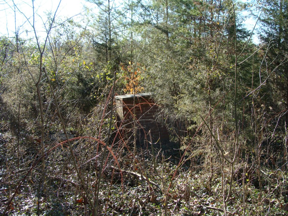
Photo below by Debbie Gilliam, 23 February 2013
Comments
Droke (William) Cemetery — No Comments
HTML tags allowed in your comment: <a href="" title=""> <abbr title=""> <acronym title=""> <b> <blockquote cite=""> <cite> <code> <del datetime=""> <em> <i> <q cite=""> <s> <strike> <strong>