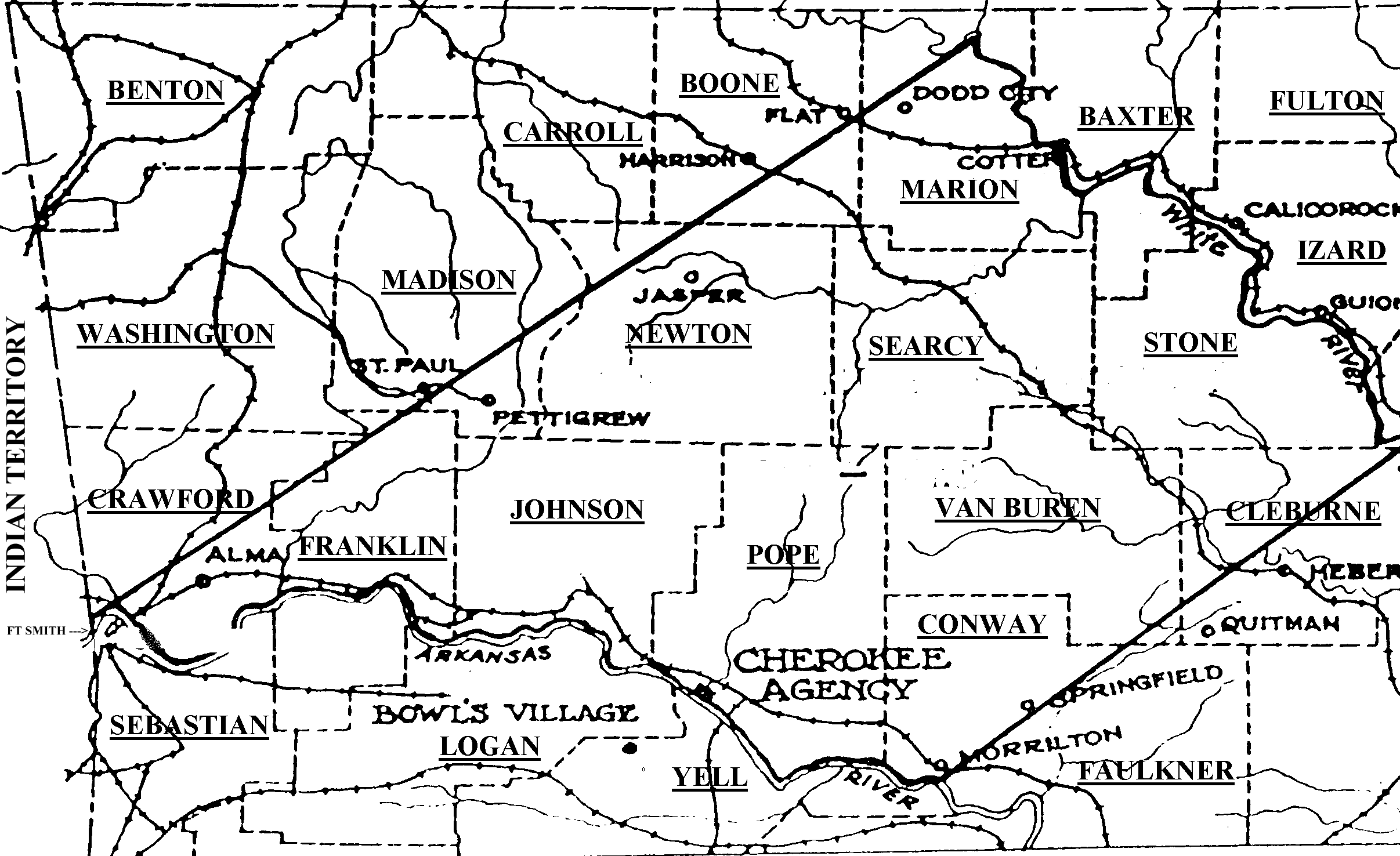
Although a small number of Cherokees had migrated to the area as early as 1811, the first Cherokee removal to Arkansas Territory was voluntary and occurred as the result of the 1817/1819 treaty. The tribe was required to give up almost one-third of their lands in the east in exchange for this land, lying between the White and Arkansas Rivers.
By the terms of the 1819 treaty the Cherokees in the west had been guaranteed freedom from white encroachment, but due to the insatiable appetite of the white settlers for new land, this provision became impossible to enforce and the area was overrun by illegal intruders. In 1828 the U.S. persuaded the Arkansas Cherokees to move further west, into the newly created Indian Territory. The Cherokees were removed into Indian Territory by 1830 and the land was then opened to white settlers. Arkansas Territory became the State of Arkansas on 15 June 1836.
Before the 1817 treaty The Bowl (or Du'wal'i) and his people had settled on the south side of the Arkansas river and rather than to move to the north side after the treaty, they took their people to Spanish-held Texas in 1819.
They became known as "The Texas Cherokees"